Location-Based Services stories
Apple Watch users can now see live radar on their watch faces, as RainViewer's rebuilt app moves beyond simple forecast icons.
Australian dispatchers should see faster incident response as HERE's live map data feeds Octave OnCall with routing and ETA tools.
ANCAP's new safety criteria are likely to make emergency-call systems a must-have, after one million vehicles were linked to Intelematics' platform.
Travellers buying selected Asia Pacific policies will get eSIM access and a 1GB starter pack for a limited period, cutting roaming costs.
Pre-orders open in the United States, United Kingdom and France for Snap's standalone glasses, priced at USD $2,195 and due later this year.
EU backers are seeking €74.3 million to roll out a system that proves a person was present without exposing personal data.
The app taps into growing loneliness in Australia, where official data show many adults feel isolated at least some of the time.
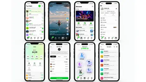
It aims to cut app switching for British users by linking messaging, events, social content and peer-to-peer payments in one place.
The free site helped commuters check flooded routes during Bangkok's disaster zone conditions, logging more than 13,000 uses in its first day.
The app aims to cut the need for Gen Z users to juggle separate services, as UK adults now use 41 apps a month on average.
Chinese visitors to Singapore will now see Amap search results and trip tools backed by the tourism board, as interest in the city-state surges.
Usage-based SIM billing will help keep GPS-guided tractors and combines connected in rural areas as LH Agro expands precision farming across the UK.
Property insurers and planners are tapping recurring aerial captures as Nearmap turns 20 years of imagery into AI-driven property data.
Nearmap's archive now helps insurers, planners and scientists assess property risk and environmental change across Australia.
Retailers in Singapore are using AI and telco data to spot untapped audiences, cut insight time by up to 60% and sharpen decisions.
Irish organisations could cut delivery risk and duplication as the firms link scattered data for GIS, cloud and AI projects.
The Cardiff startup's paid app could broaden guided walks beyond major tourist sites, with live audio that follows users anywhere on a data connection.
Demand for trusted location data lifted annual sales as utilities, councils and consumers used new services to cut risk and plan infrastructure.
Real-time mapping is now helping TLI Group cut manual reporting and improve safety on broadband, power and renewables projects across Ireland.
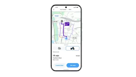
Riders in seven countries will soon get hazard warnings and faster ETAs as the navigation app rolls out a motorcycle mode.