Teledyne FLIR certifies Emesent Hovermap for CBRN use
Mon, 4th May 2026
Teledyne FLIR Defence has certified Emesent's Hovermap LiDAR payload for its third-party payload integration programme, extending it across the company's unmanned air, ground and radiation detection platforms.
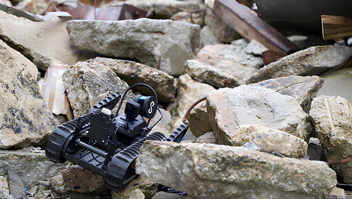
The certification brings Emesent's mapping system to a wider range of Teledyne FLIR products, including the SkyRanger R70, R80D SkyRaider and SUGV 325 ground robot.
The arrangement is aimed at operations in places where satellite positioning is unavailable or unreliable, such as tunnels, dense urban structures and contaminated environments. Hovermap uses LiDAR-based simultaneous localisation and mapping, or SLAM, to create 3D maps without relying on GPS or external infrastructure.
On aerial systems, the payload is intended to support mapping where drone operators cannot maintain GPS connectivity. On the SUGV 325, it is designed to provide a live three-dimensional view of enclosed spaces.
Teledyne FLIR is also integrating Hovermap with its MUVE R430 radiation detection payload on the SUGV platform. The combination is intended to show operators both the layout of an environment and areas with elevated radiation readings.
The companies are positioning the combined system for chemical, biological, radiological and nuclear, or CBRN, work, where remote inspection is often used to reduce risk to personnel. Adding spatial mapping to sensor data could help teams assess conditions inside hazardous sites before sending people in.
Stefan Hrabar, Co-Founder and Chief Strategy Officer at Emesent, described the operational use case in direct terms.
"Knowing the shape of a space is powerful. Knowing where the radiation is within that space, in real time, without putting a person in harm's way, is an operational game-changer," said Stefan Hrabar, Co-Founder and Chief Strategy Officer, Emesent. "Our partnership with Teledyne FLIR Defence brings together GPS-denied mapping and radiation detection in a way that directly addresses what CBRN operators need in the field."
Broader platform use
For Teledyne FLIR, the certification adds another product to a partner programme built around third-party payloads that can be fitted across its unmanned systems. Certified payloads are tested for mechanical fit, electrical interface, software compatibility and flight performance.
The approach is intended to make it easier for customers to configure systems for specific tasks without undertaking a full custom integration project. It also reflects a broader defence industry trend towards open architectures that let users mix sensors, software and vehicles from different suppliers.
Tung Ng, Vice President of Unmanned Systems North America at Teledyne FLIR Defence, said the integration gives operators a new view of hazardous environments.
"Teledyne FLIR builds platforms trusted for the most demanding CBRN missions in the world," said Tung Ng, Vice President of Unmanned Systems North America, Teledyne FLIR Defence. "Working with Emesent, we'll be able to give operators a fused, spatial picture of the threat environment they simply haven't had access to before.
"This is the direction the whole field is heading in, and we're delivering it now through certified third-party payloads like Hovermap," Ng said.
Emesent is based in Brisbane and also has a US office in Colourado. More than 1,000 Hovermap systems have been deployed worldwide across defence, public safety, mining and infrastructure work.
Its technology has also been used outside defence. Hovermap was previously deployed to scan Alcatraz Island and produce a detailed 3D map as part of preservation and site planning work.
Technical direction
Beyond the certification, the two companies are working on autonomous navigation and broader sensor fusion. That includes plans to combine mapping with other CBRN detection tools beyond radiation sensing.
Those efforts point to a broader shift in the unmanned systems market, where customers increasingly want robots and drones to do more than collect a single stream of data. Combining navigation, mapping and threat detection in one operating picture has become a priority across defence, emergency response and critical infrastructure inspection.
The certification gives Teledyne FLIR users access to that model through an existing family of air and ground systems, while giving Emesent a route into military and specialist response markets that operate in degraded or inaccessible environments.
Certified payloads are assessed for mechanical fit, electrical interface, software compatibility and flight performance, giving customers confidence in mission-tailored capabilities from a growing partner ecosystem.